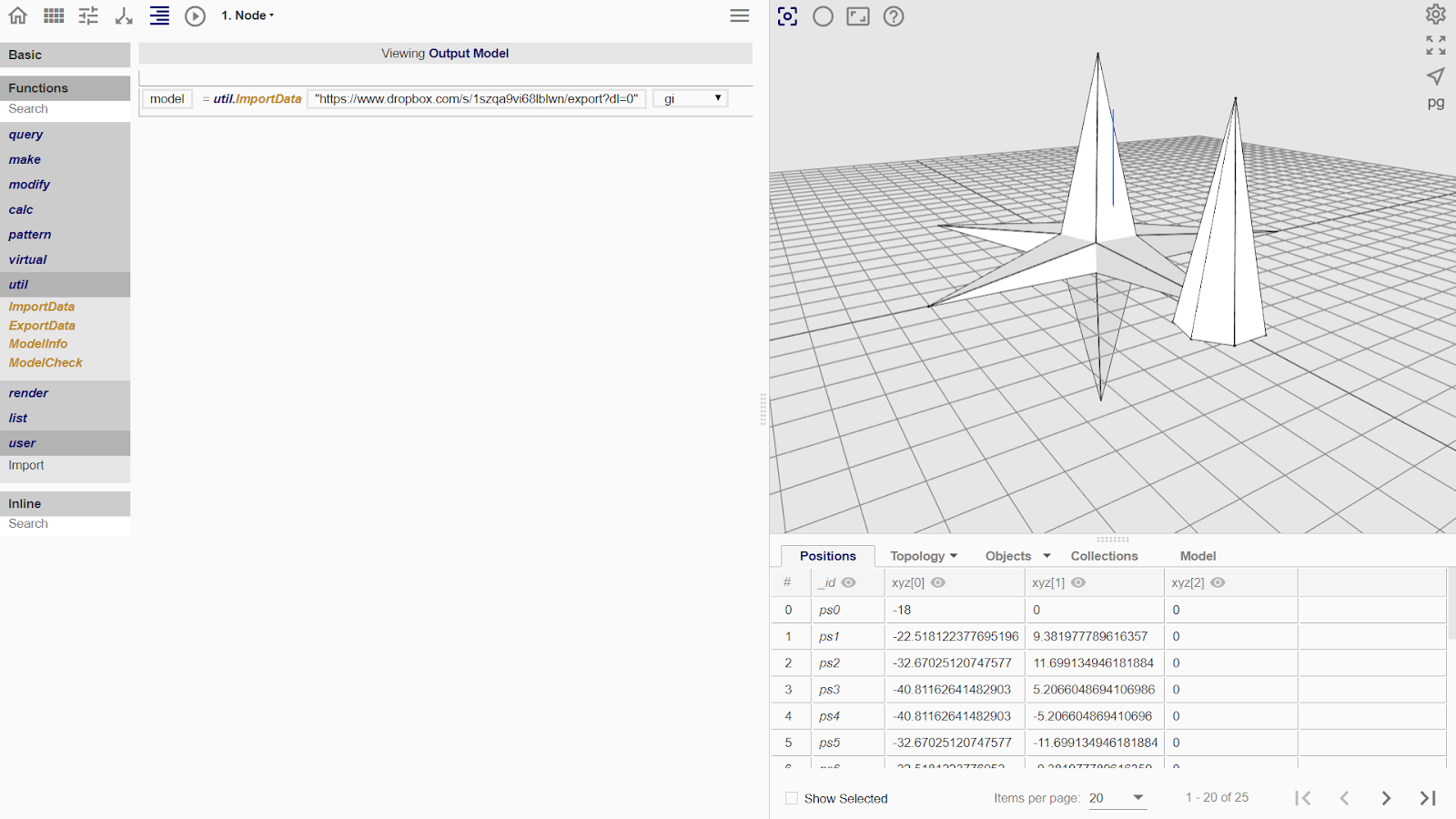
Util
Import Data
To import, type the URL containing the file in quotation marks into the model_data argument box. The URL has to come from an online file sharing platforms such as Github and Dropbox.
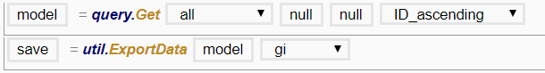
Export Data
To export, fill in the filename argument box with a variable which contains the desired data for export. Upon execution, a popup will appear in the browser requesting for a location to save on the computer.
File Types Available for Importing and Exporting
| File Type | Uses |
|---|---|
| .gi | Saves the Geo-Info (GI) data model, but not the procedures. |
| .obj | Commonly used in other 3D modelling, 3D printing and simulation programs. |
| .dae | Commonly used in other 3D modelling, 3D printing and simulation programs. |
| .geojson | Saves the geospatial data of the flowchart. |